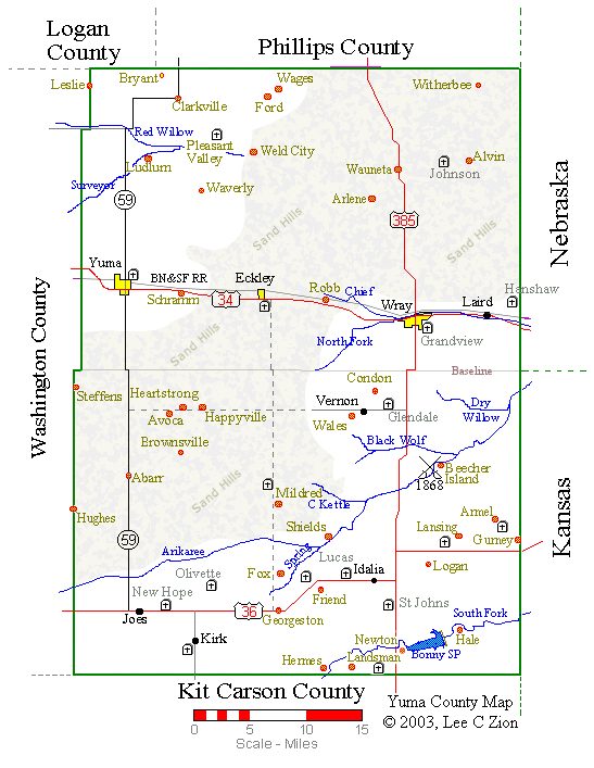
| Yuma County, Colo., Historical Map |
For further information about the places shown, see Yuma County Place Names
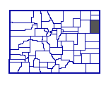
NOTE: While Yuma County was established in 1889, the south one-half of the county
wasn't added until 1903. Prior to that it was part of Arapahoe County.
| Map Legend | |
|---|---|
| Places | Black - Current places and Post Offices |
| Yellow - Incorporated Towns City Limits | |
| Orange 1882 - 1997 Post Offices now closed and other old communities that never had a post office | |
| Railroad | Gray - BN&SF Railroad (1881 Burlington and Missouri Route) |
| Roads | Red - US Highways |
| Solid Black - Numbered Colorado Highways | |
| Solid Gray - Paved County Roads | |
| Dashed Gray - Other County Roads | |
| Rivers & Creeks | Blue - Rivers. (Names of the North and South Forks of the Republican River were abbreviated.) |
| Cemeteries | Tombstone (Box with Cross) with name in Gray (For a detailed map follow the "Cemetery Map" link below) |
This page copyrighted 1998 & 2008, Lee C Zion; e-mail: lzion@plains.net, All Rights Reserved