![]()

![]()
Special Projects
COGenWeb

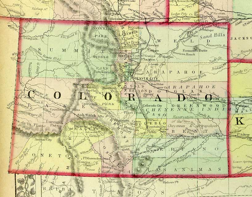
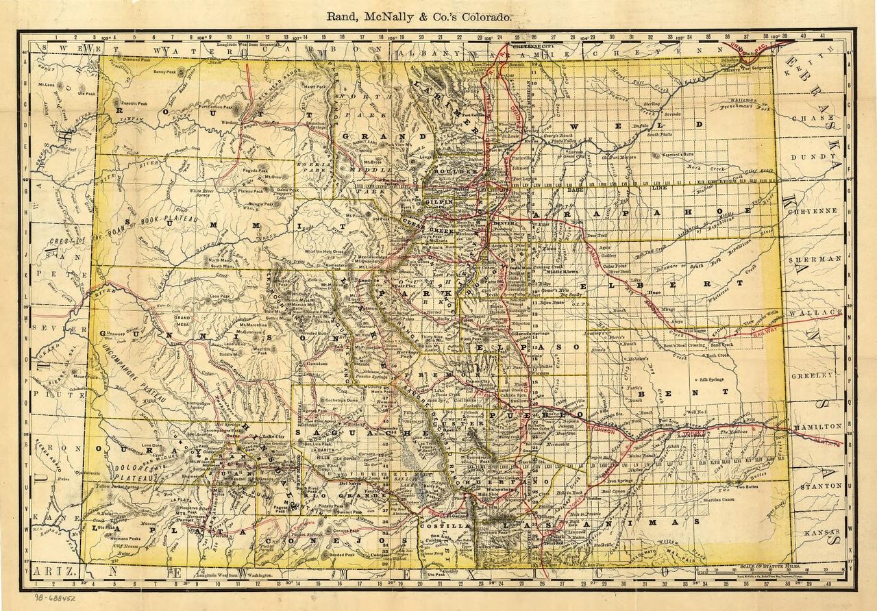
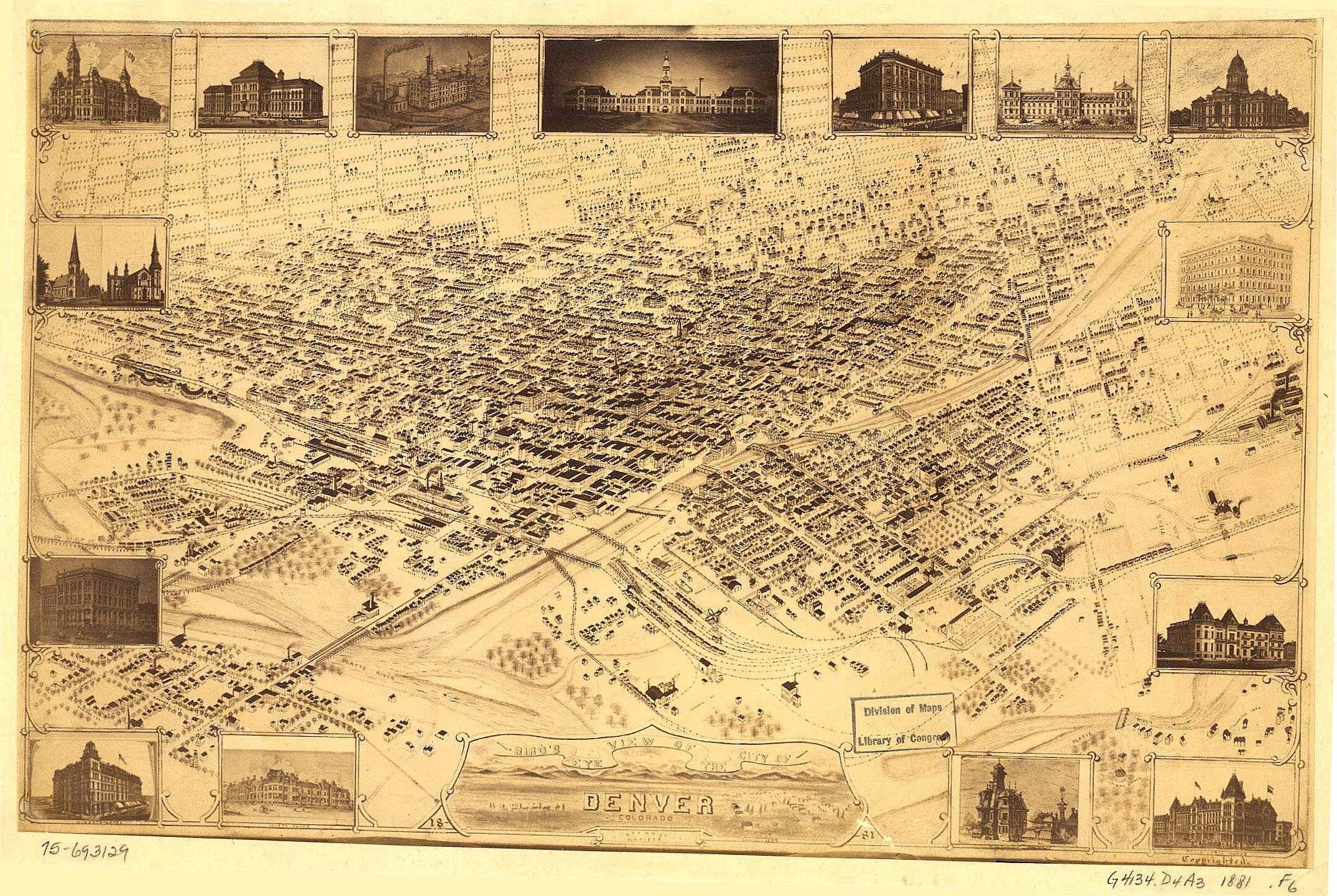
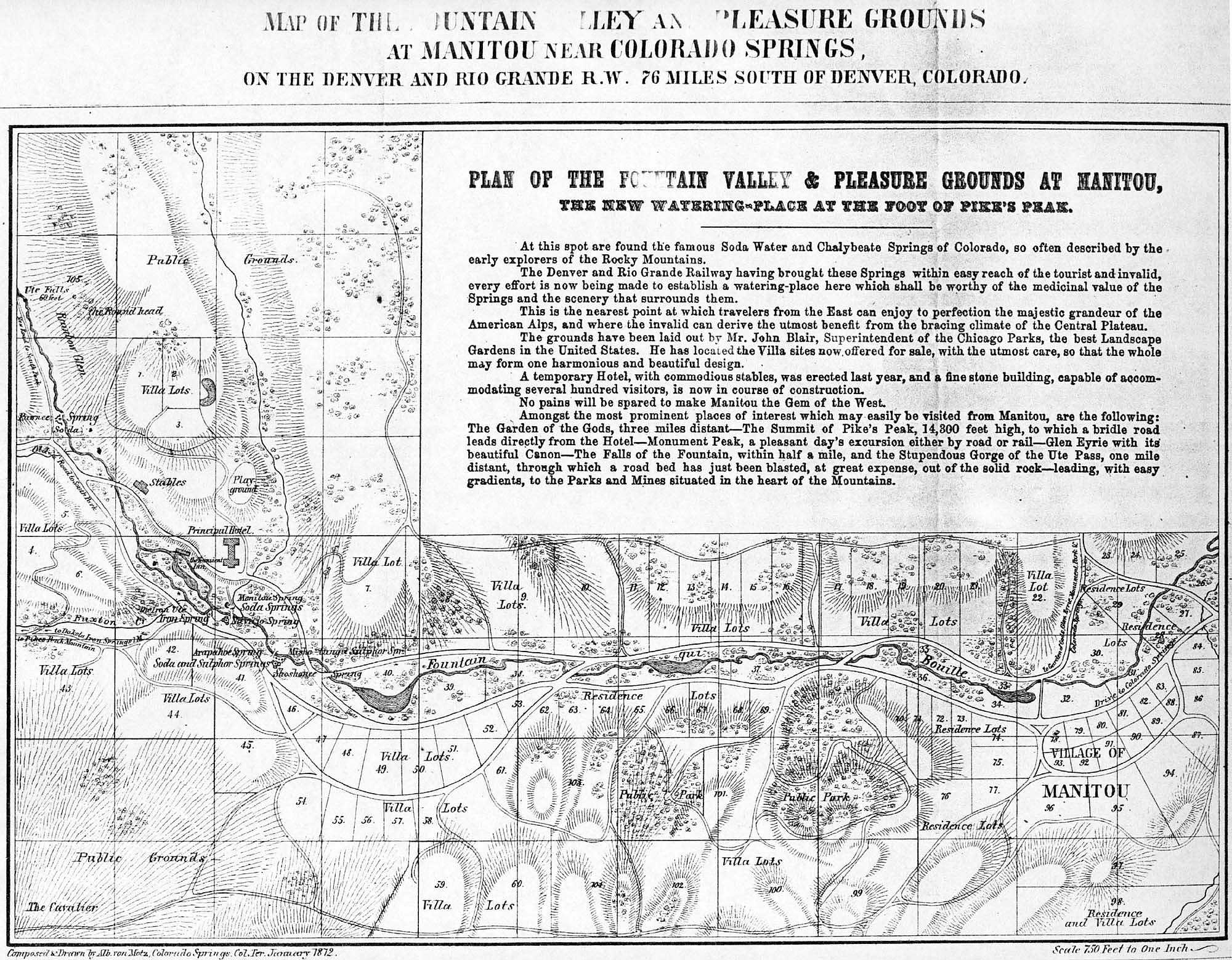
Colorado Territory 1872
Reduced version of the
large map Scanned by Pam Rietsch.
Used with her permission
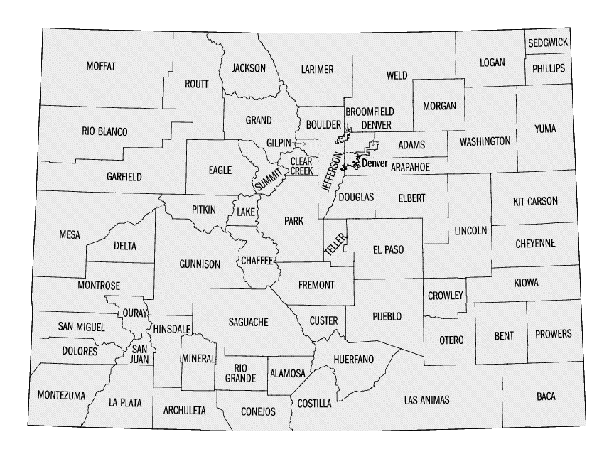
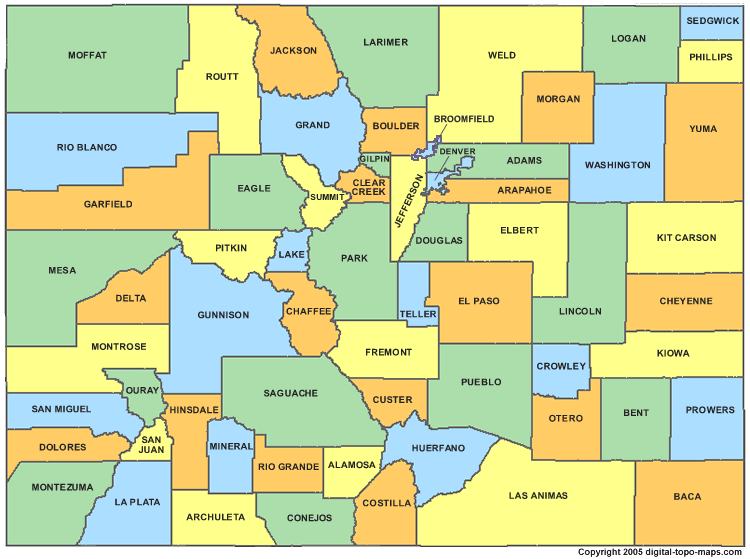
County Line Map
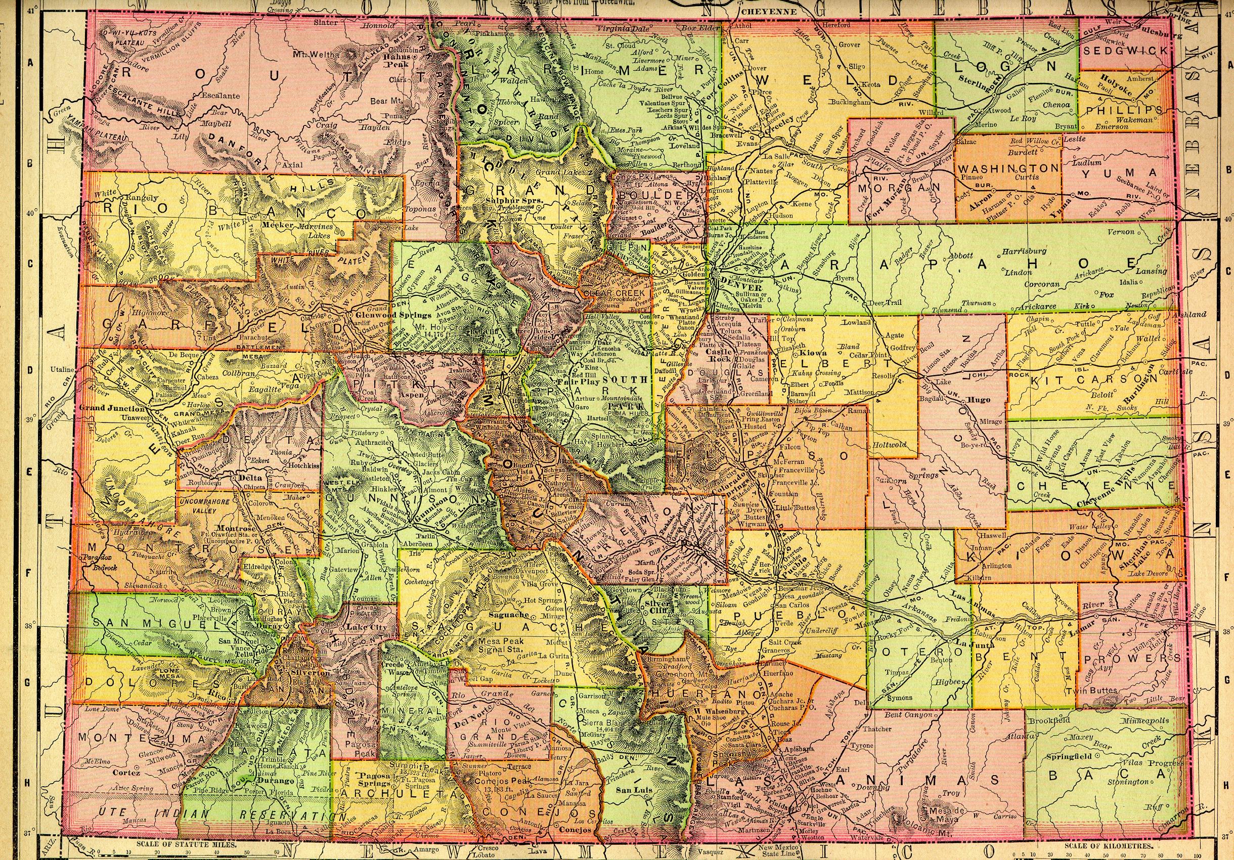
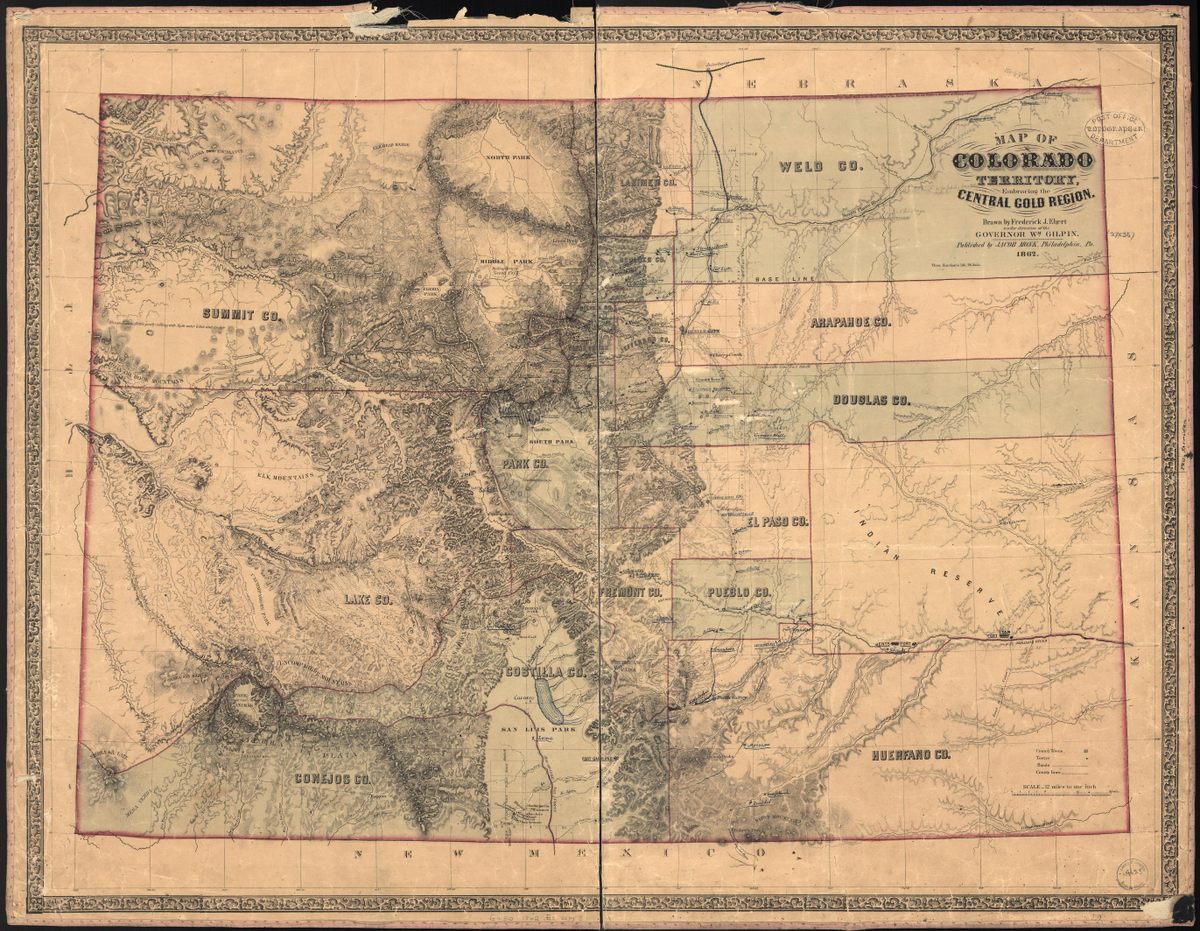
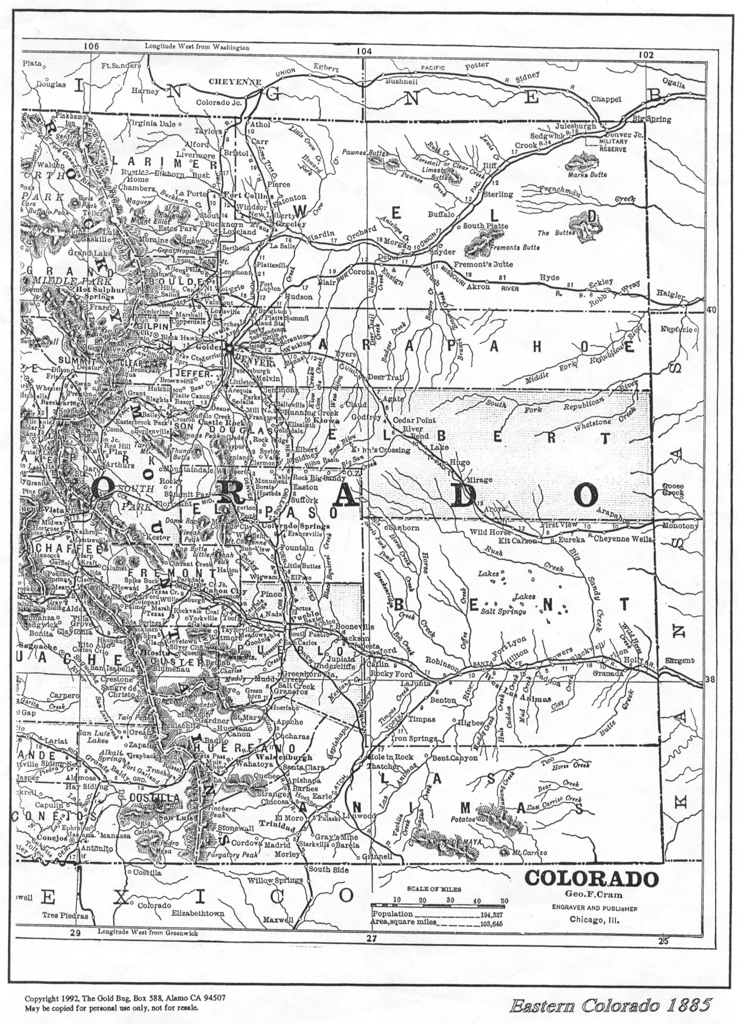
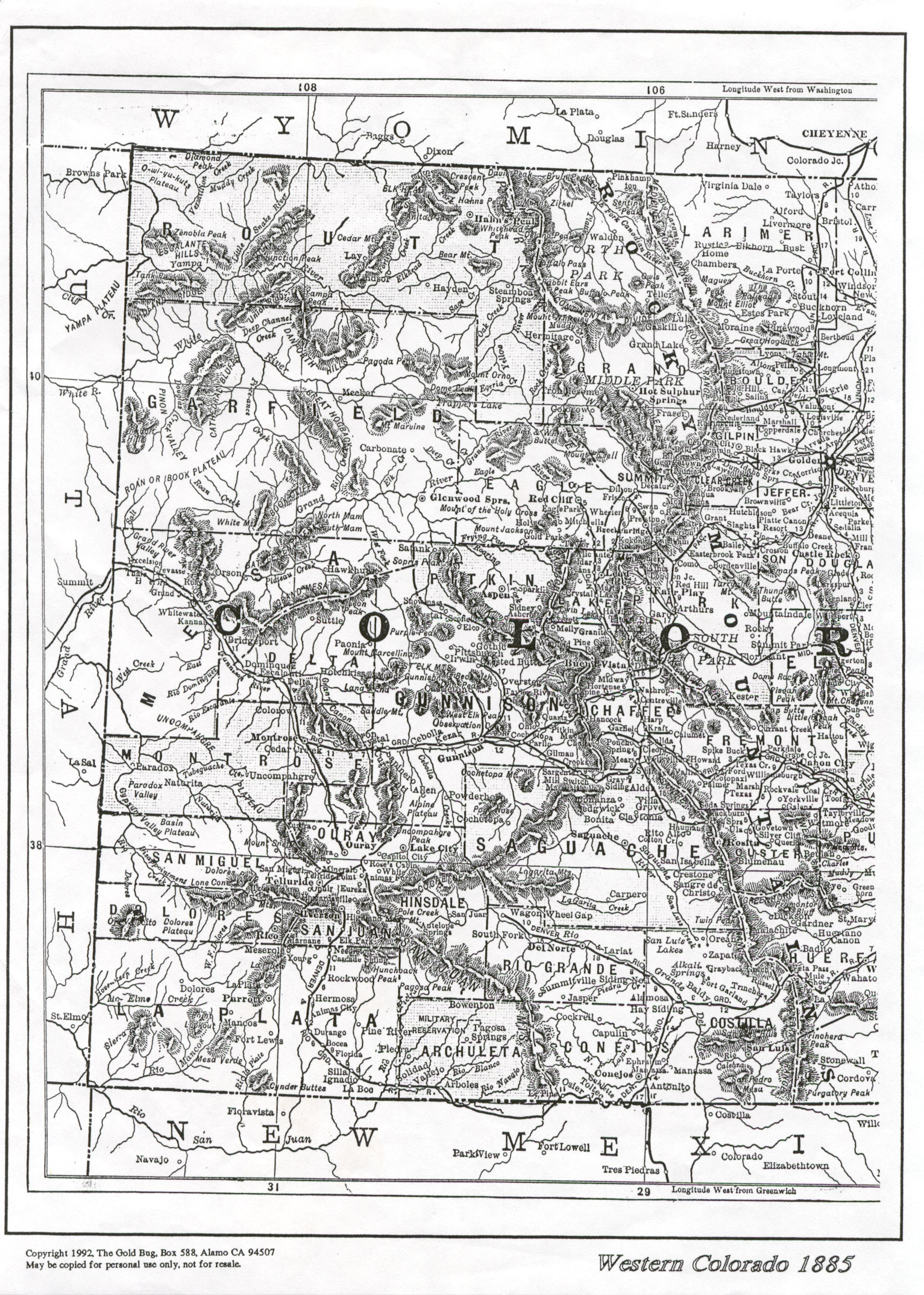
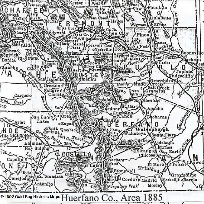
County Maps
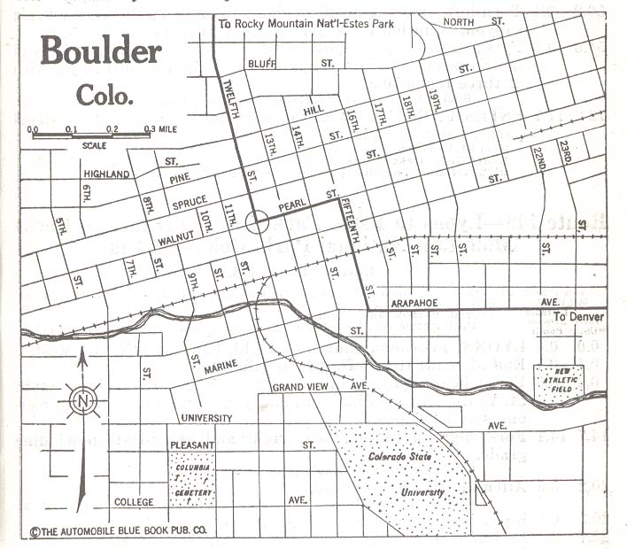
City Maps
Colorado County Map (source Wikipedia open source images)
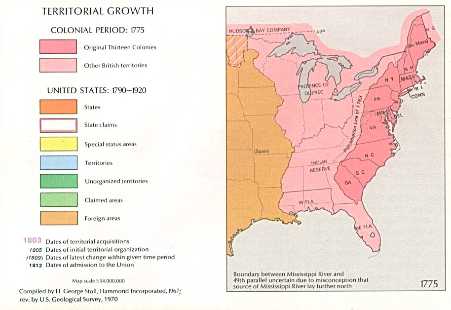
Library of Congress: American Memories Map Collection
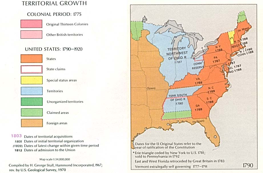
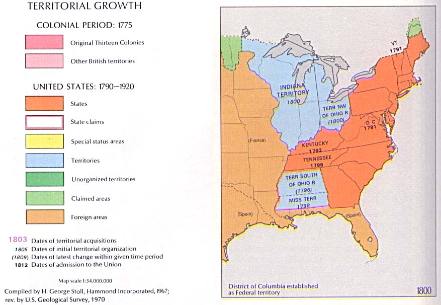
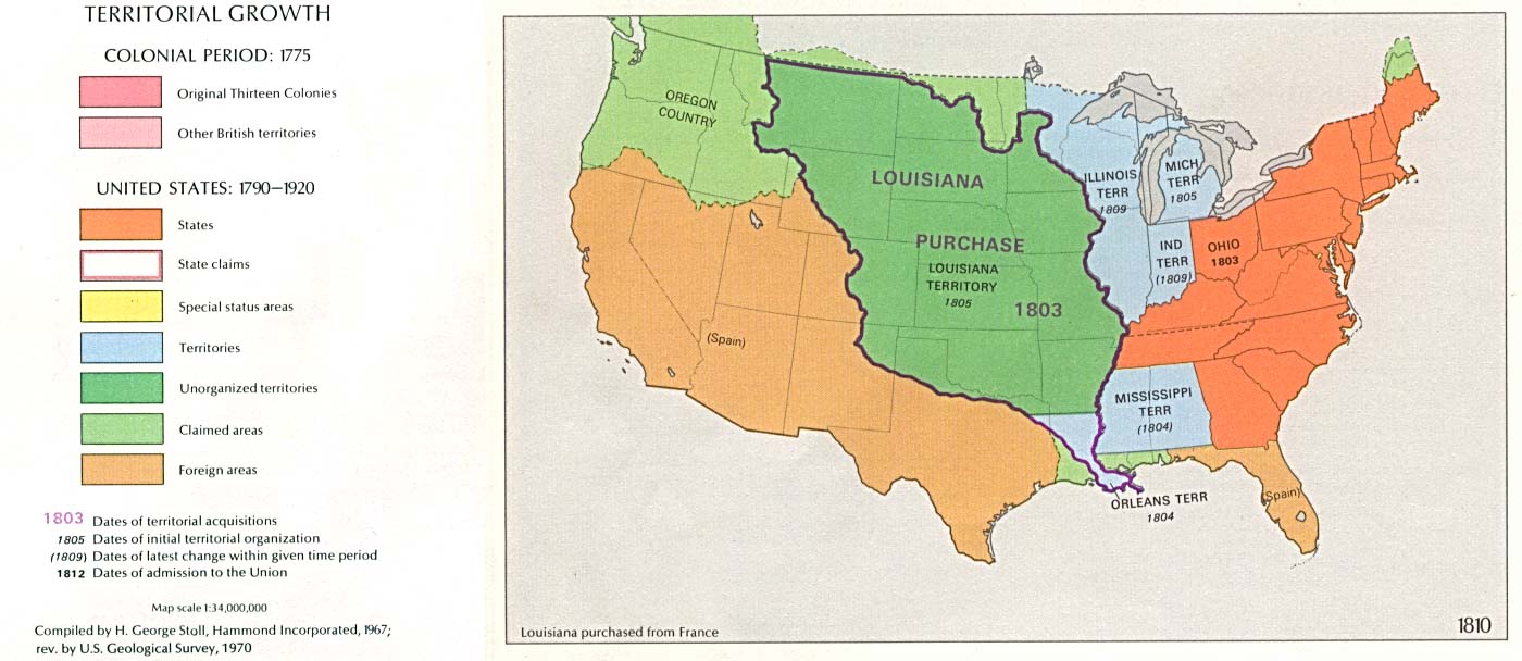
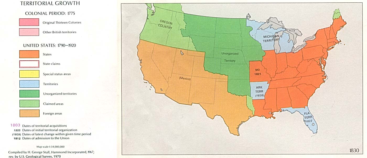
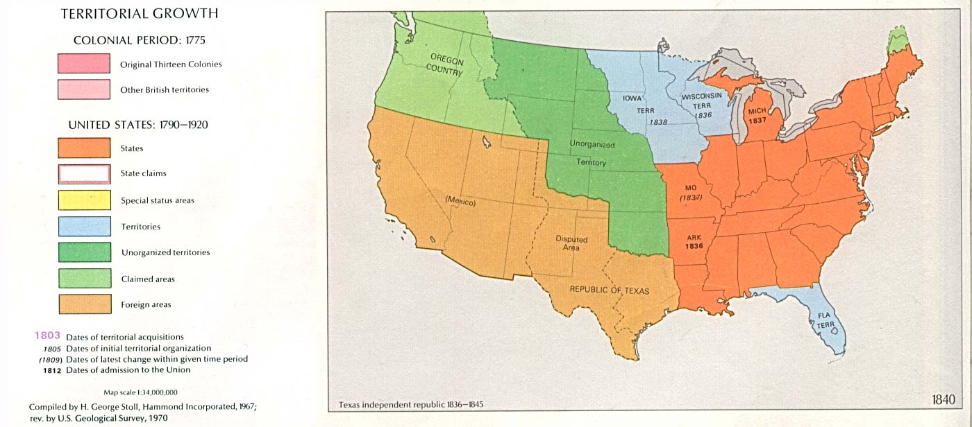
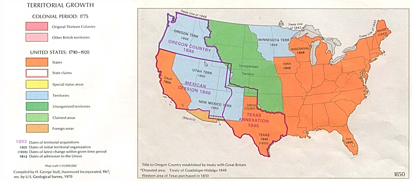
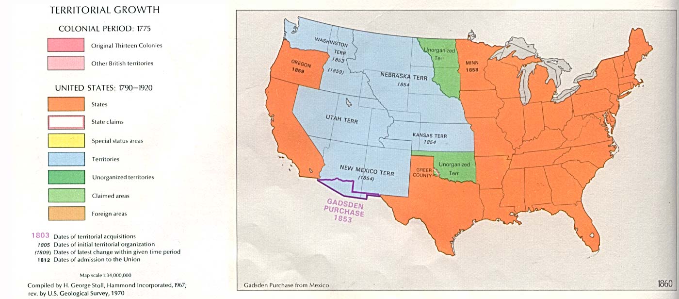
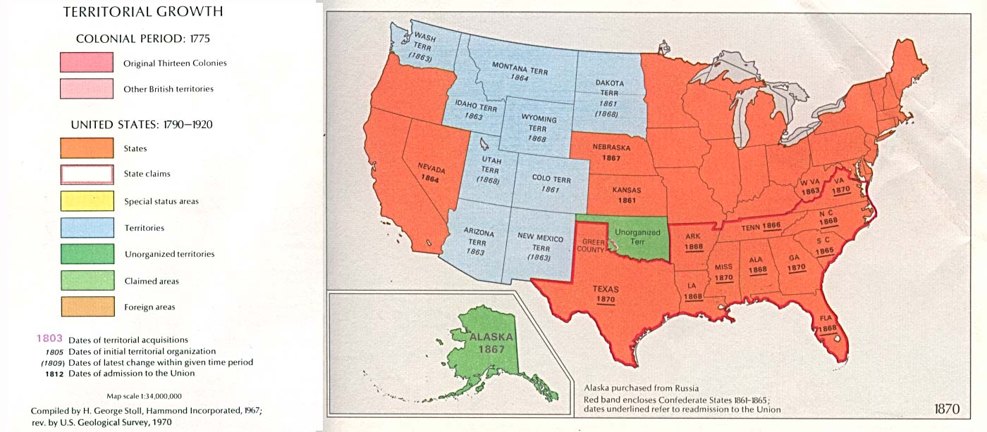
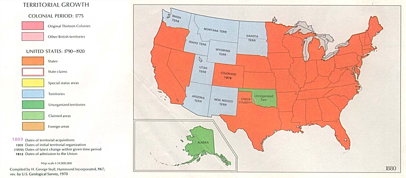
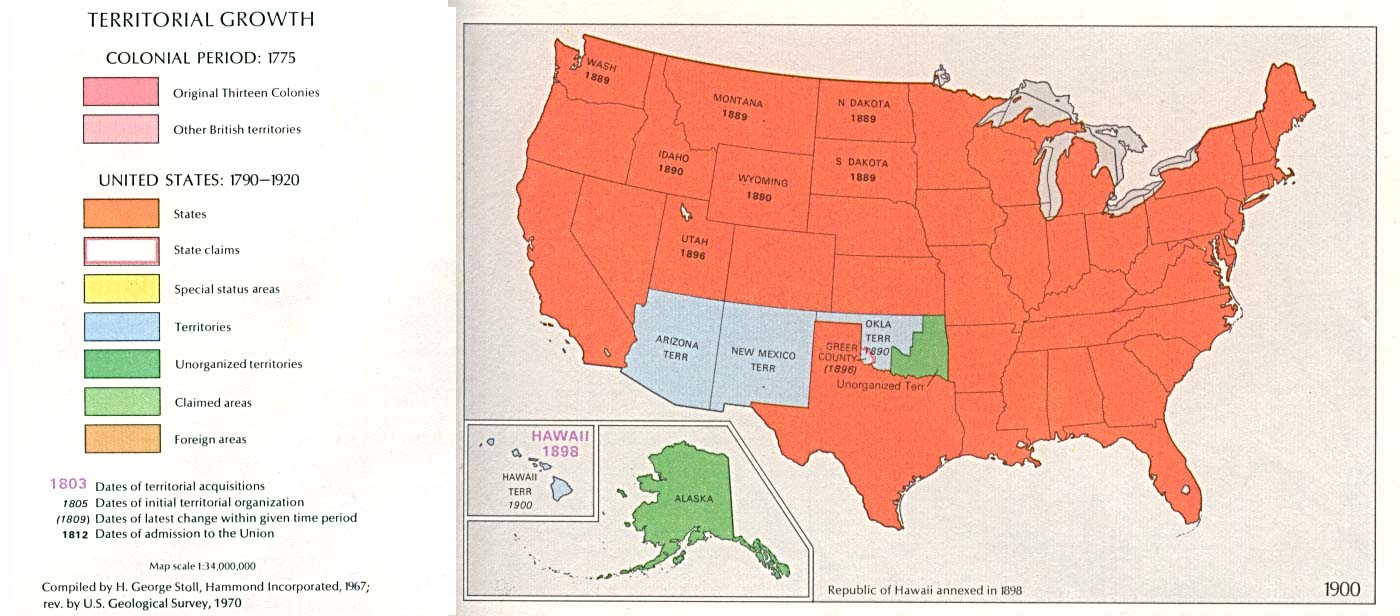
University of Texas at Austin: Historical Maps of the United States -The Perry-Castañeda Library Map Collection
1895 U.S. Atlas - Colorado Index. These are well detailed maps with the USGenWeb Archives
Ray Steiner
Color Landform Atlas of the U.S. Colorado Index
These pages are now maintained by Rebecca Maloney. If you have an old Colorado Map that could be scanned for this project or have a link to a Colorado Map that is already on the WWW please send her an email message.
Copyright © 1996 - The USGenWeb® Project, COGenWeb, Special Projects
Design by Templates in Time
This page was last updated 02/28/2024