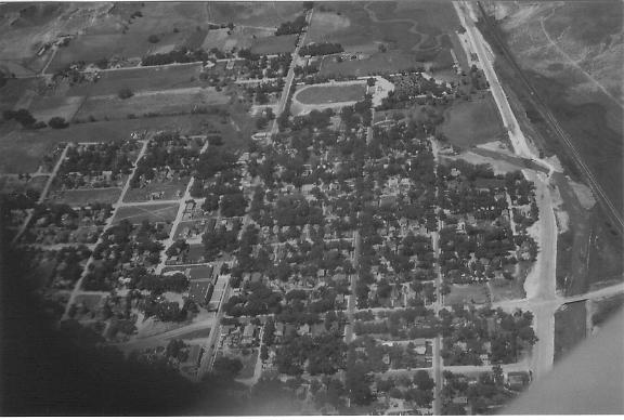
 This is looking
west - the horseshoe-shaped in the upper center area is the football field, with the swimming pool to its right.
This is looking
west - the horseshoe-shaped in the upper center area is the football field, with the swimming pool to its right.Patrick Sullivan came back to visit in 1954, and took the aerial photos from Ken Powell's plane.
This is looking
west - the horseshoe-shaped in the upper center area is the football field, with the swimming pool to its right.
The high school is in the lower left. U.S. 34 was the road between the two. U.S. 385 is the left-to-right highway. It looks like the "new" route for U.S. 34 is just being built.
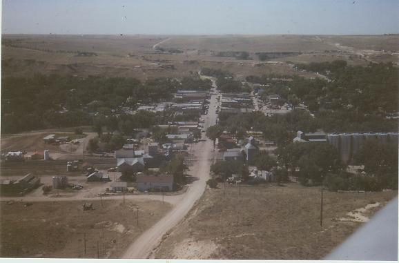 This is looking
south
This is looking
south
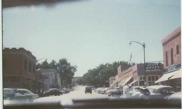 Main Street,
of course - looking south.
Main Street,
of course - looking south.
Back to Wray Photographs.
This page is maintained by Lee Zion.