

![]()
![]()
![]()
![]()

|
|
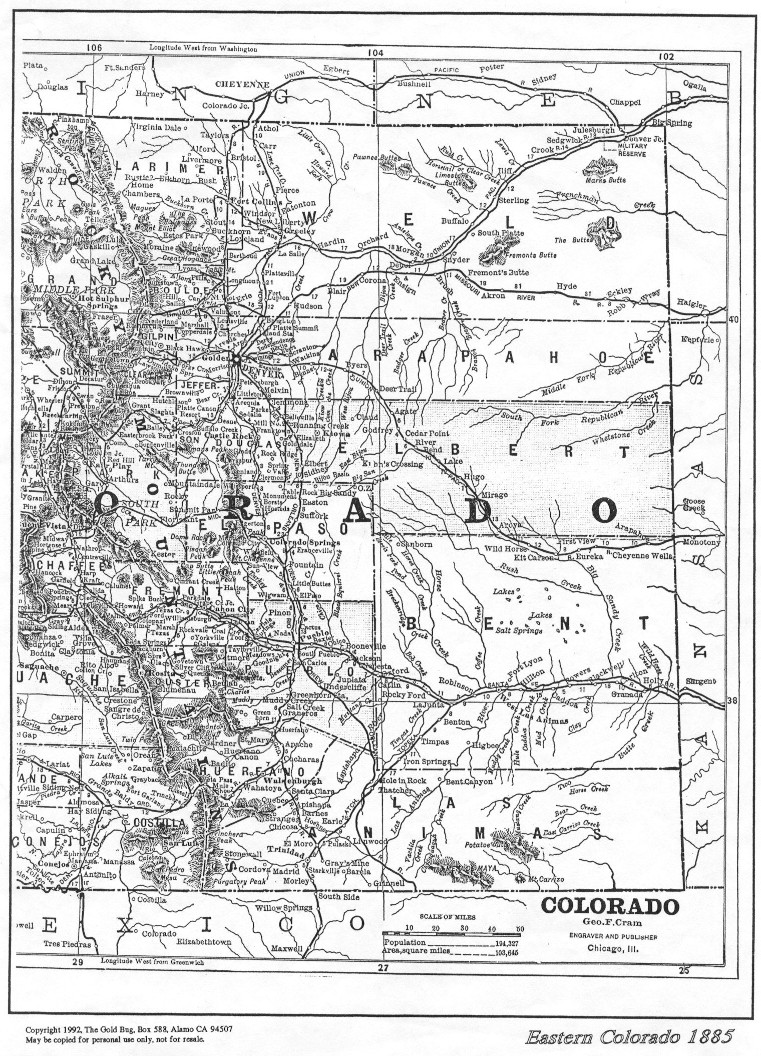
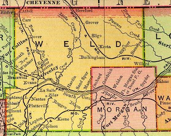
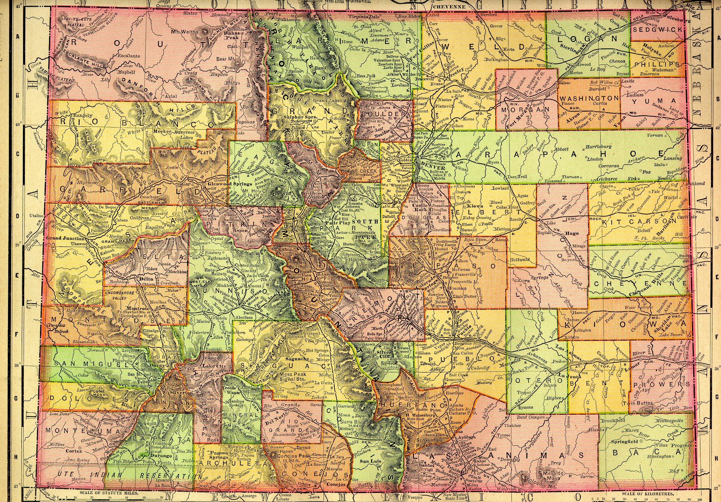
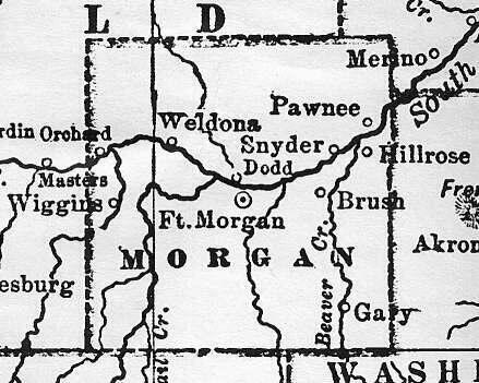
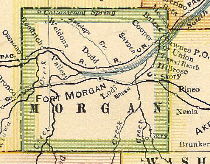
Morgan County CO MapsScanned Colorado Maps: from theUSGenWeb ColoradoDigital Map Library
Links to other Colorado Maps on the WWW:
University of Texas at Austin - COGenWeb Maps - Colorado CountyEvolution
Ray Steiner's Color Landform Atlas of the U.S. - Colorado Index
|
![]()
![]()
![]()
![]()
Copyright © Morgan County COGenWeb webmistress. All Rights Reserved.